Outdooractive. Hike and Ride - Explore trails & routes
Explore trails, plan adventures: Outdooractive, your ultimate hiking and biking companion

- 3.17.1 Version
- 4.5 Score
- 2M+ Downloads
- In-app purchases License
- 3+ Content Rating


Confidently explore the great outdoors with Outdooractive - Hike and Ride: The most reliable outdoor navigation app, as trusted by thousands of trail wardens, mountain guides, and outdoor industry professionals worldwide.
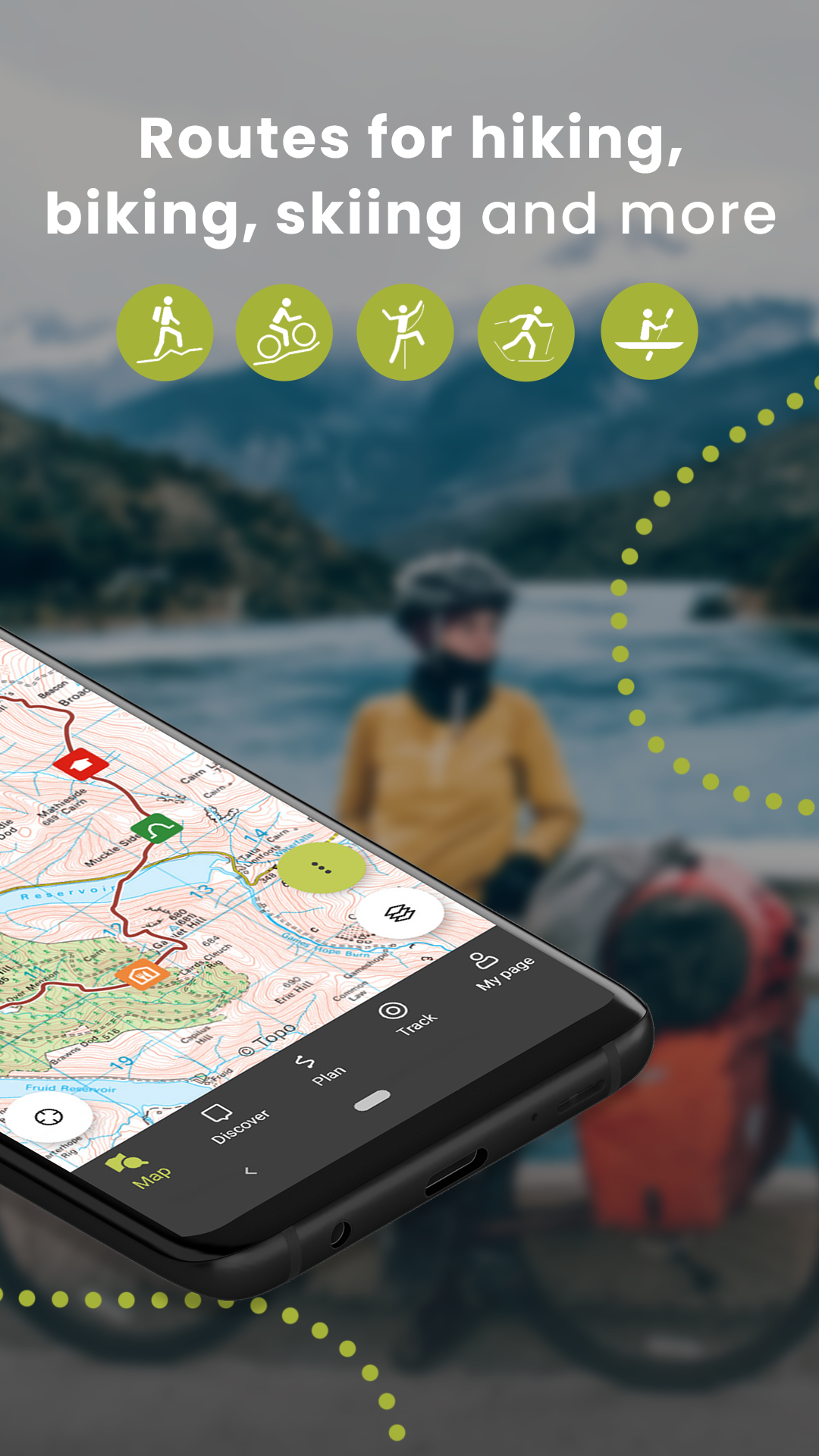
The Outdooractive - Hike and Ride app helps you find officially approved routes near you and around the world, with suggestions for dozens of sports including: hiking paths, trekking trails, mountain biking routes, trail running paths, ski touring routes, and more. Or plan your own routes using the deepest catalog of official maps to take adventures into your own hands.
How to Use:
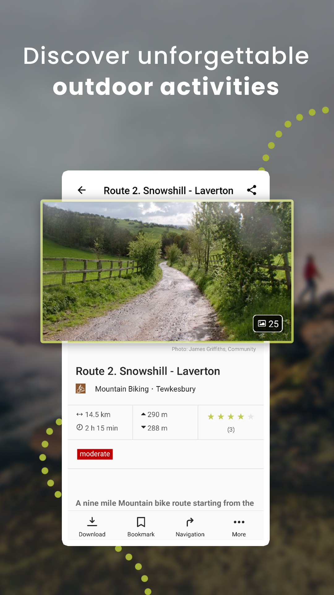
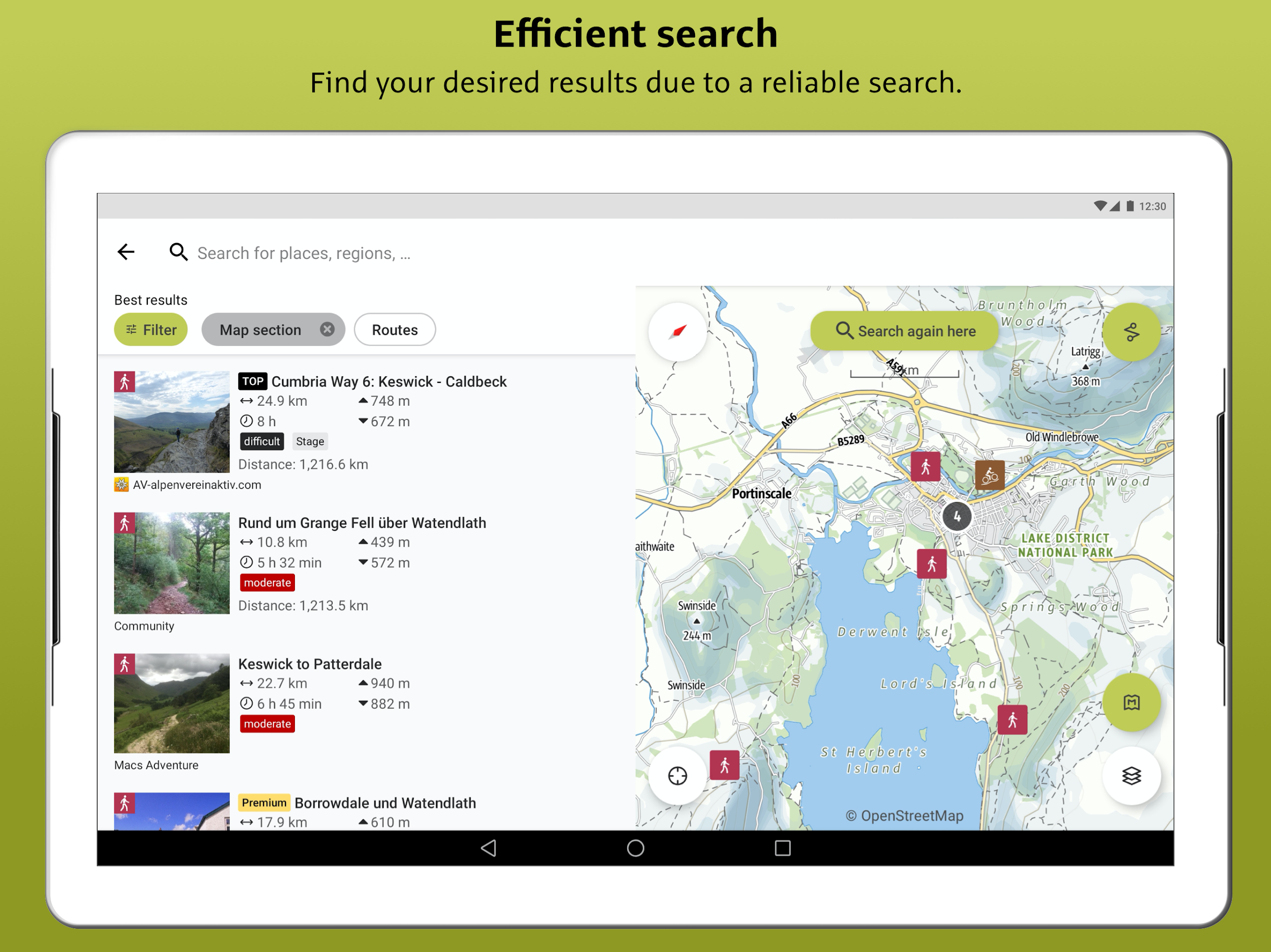
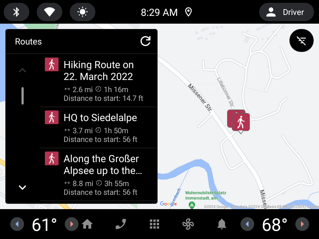
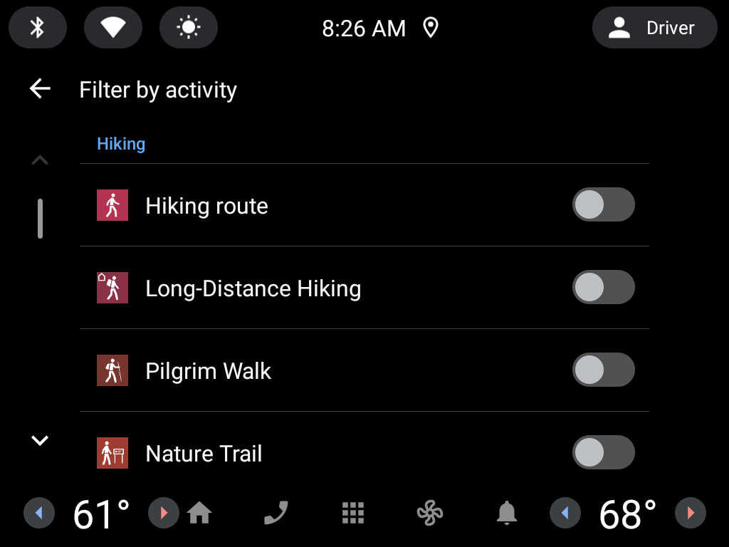
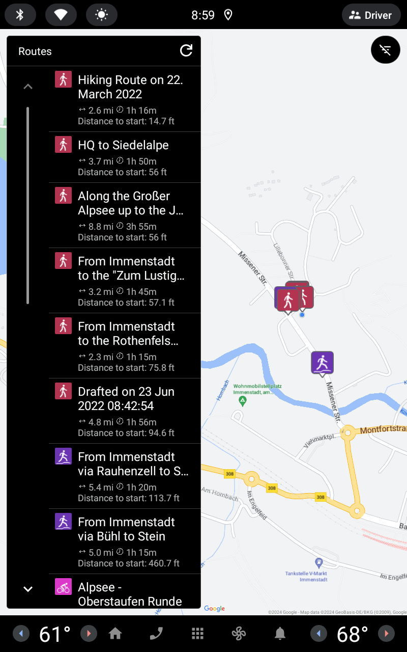
• Find routes you can rely on: Browse thousands of officially-approved routes near you and across the world, including routes for hiking, road cycling, bike touring, ski touring, gravel riding, trail running, horseback riding, mountaineering, and more.
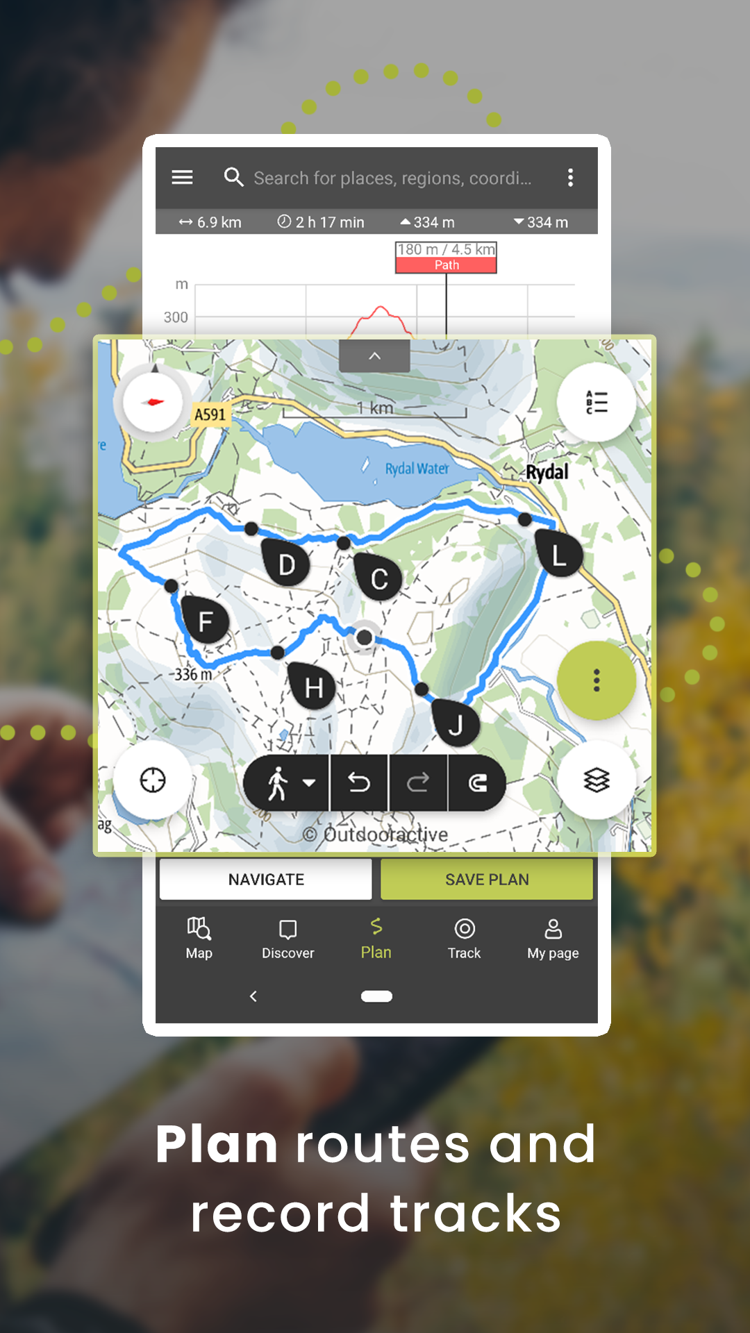
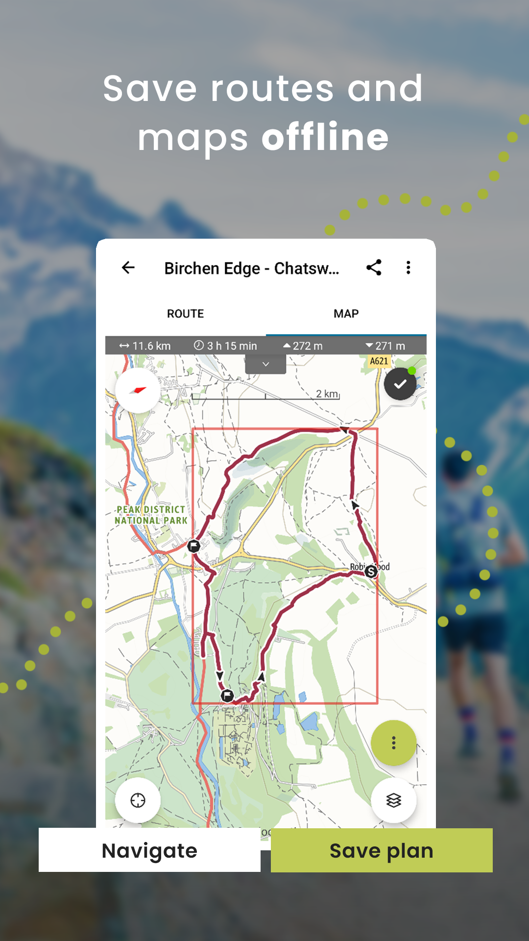
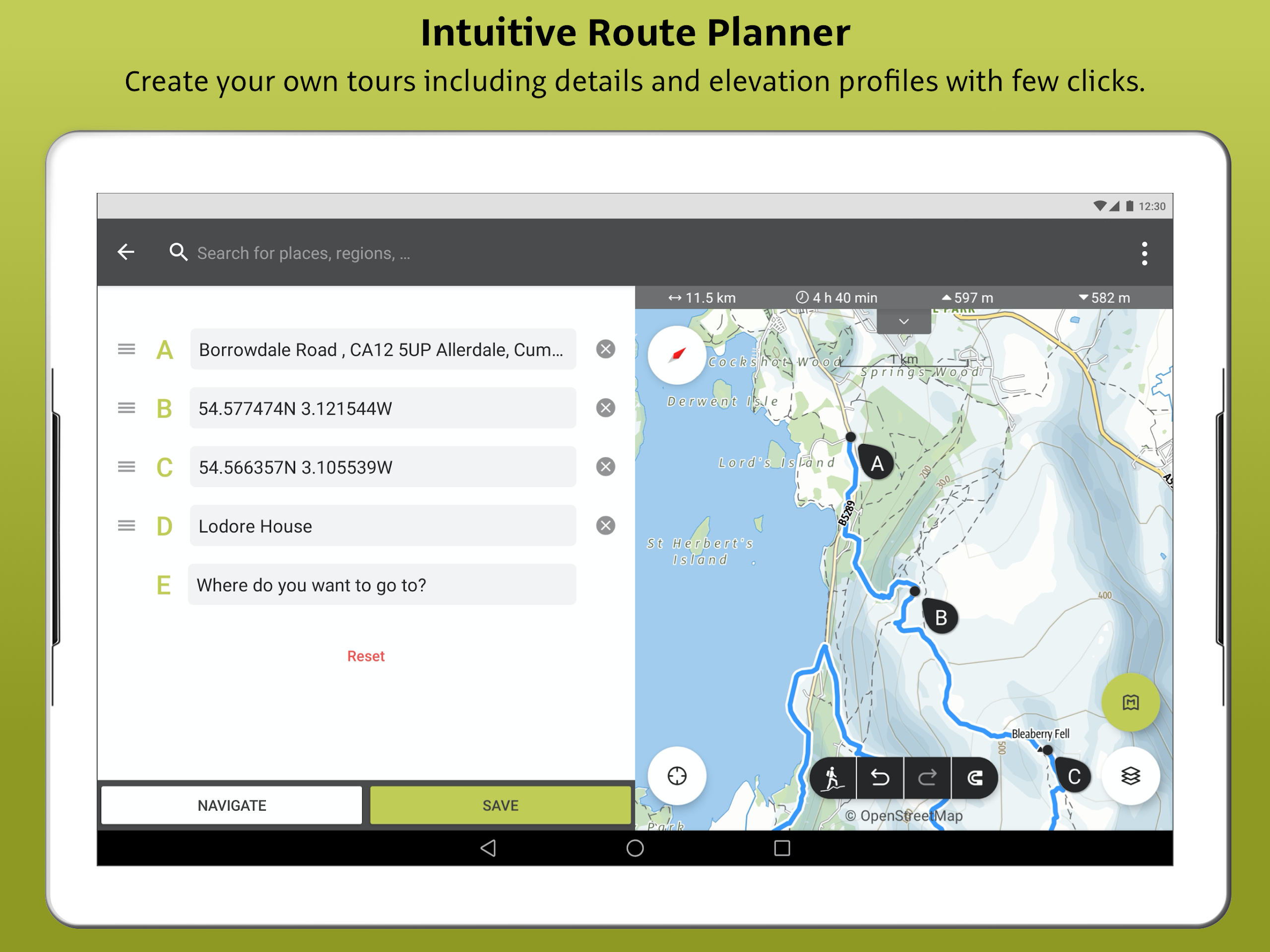
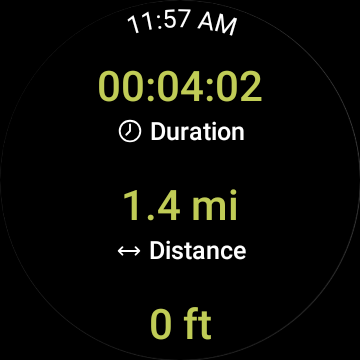
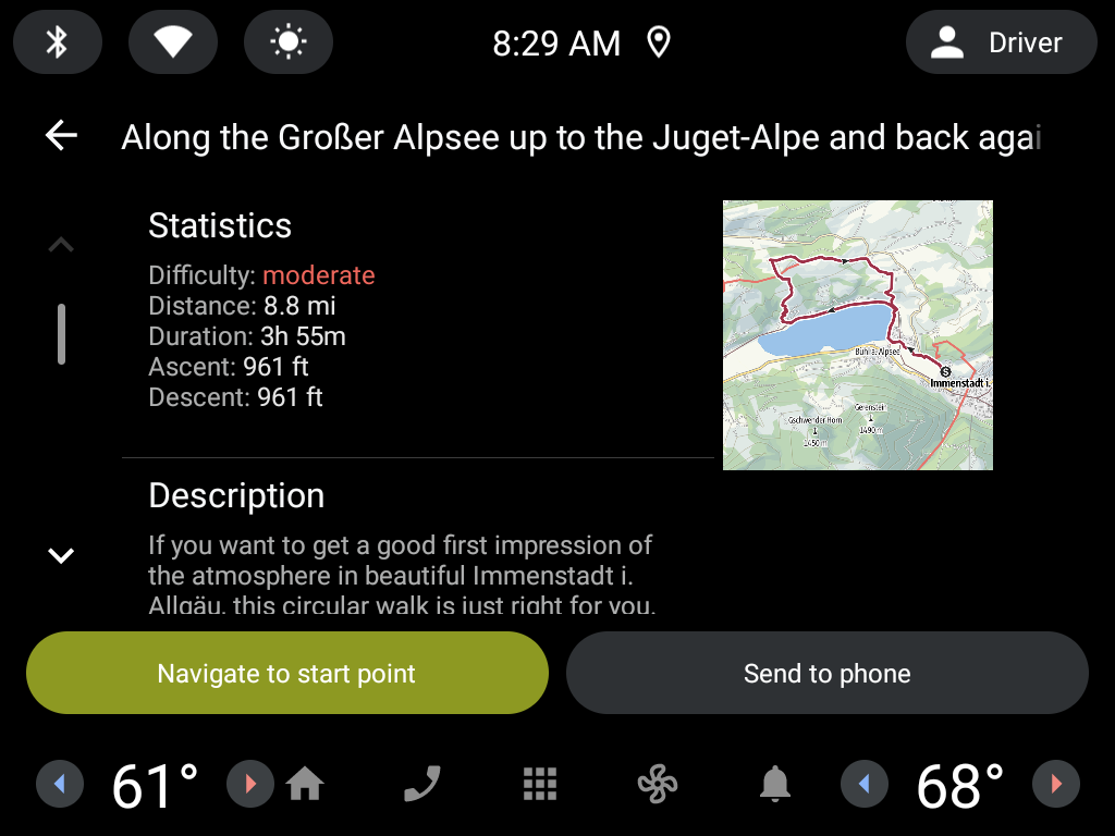
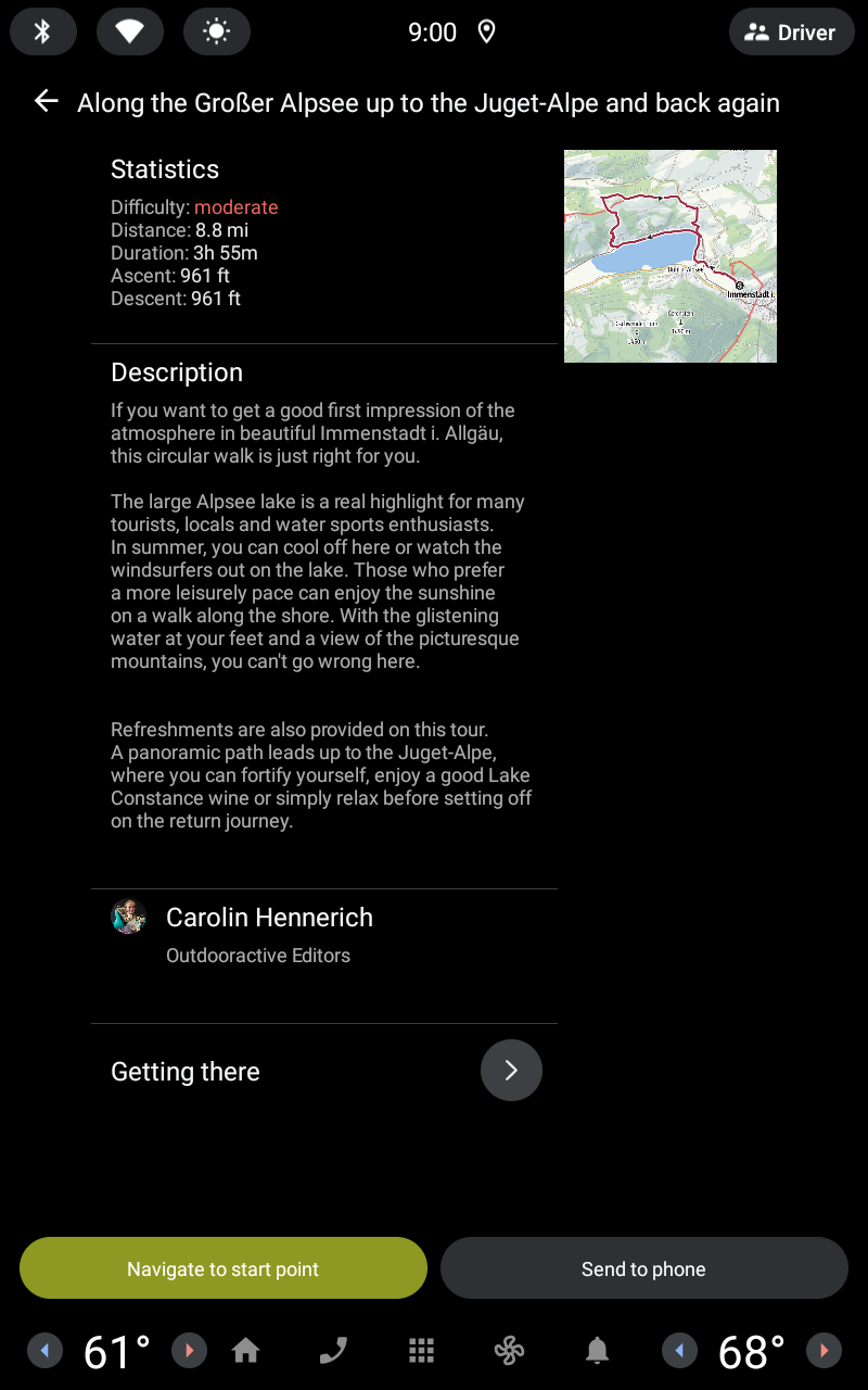
• Plan your routes with tools trusted by professionals: Easily plot your own outdoor routes in the route planner in just a few taps, and see all need-to-know distance, elevation, and terrain info.
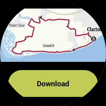
• Save everything offline: Save individual plans or entire areas offline for reliable navigation when you don't have a phone signal.
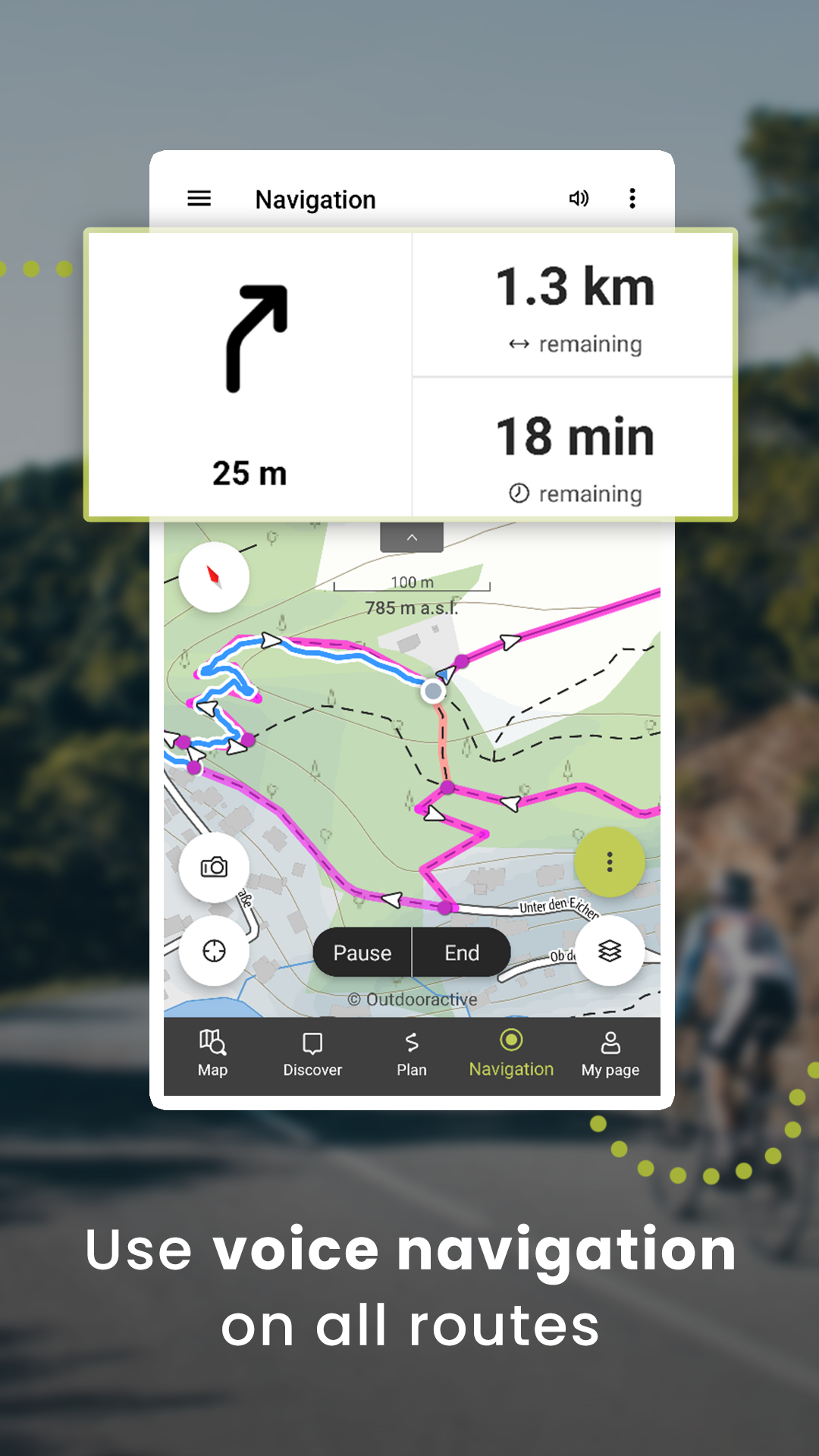
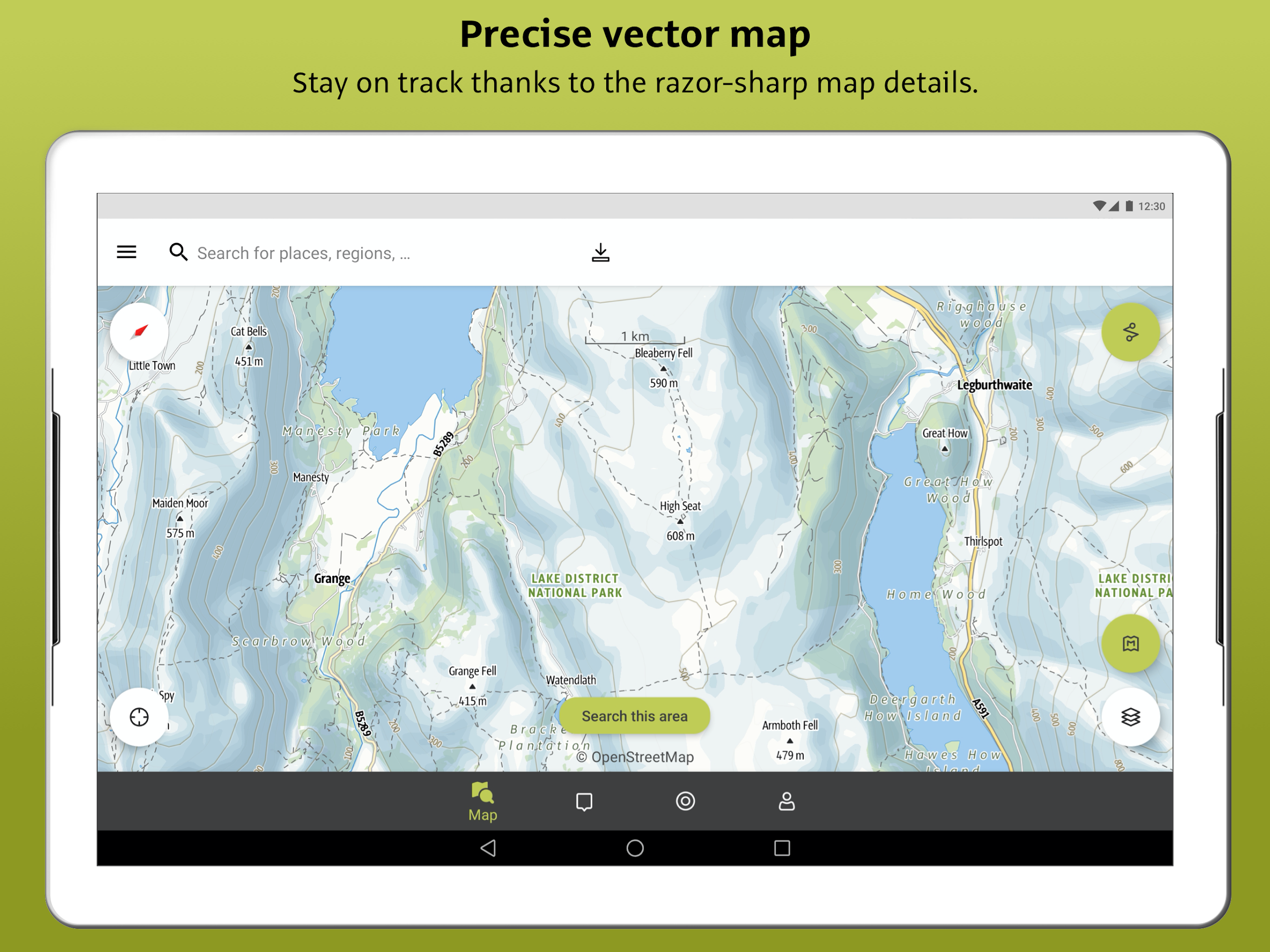
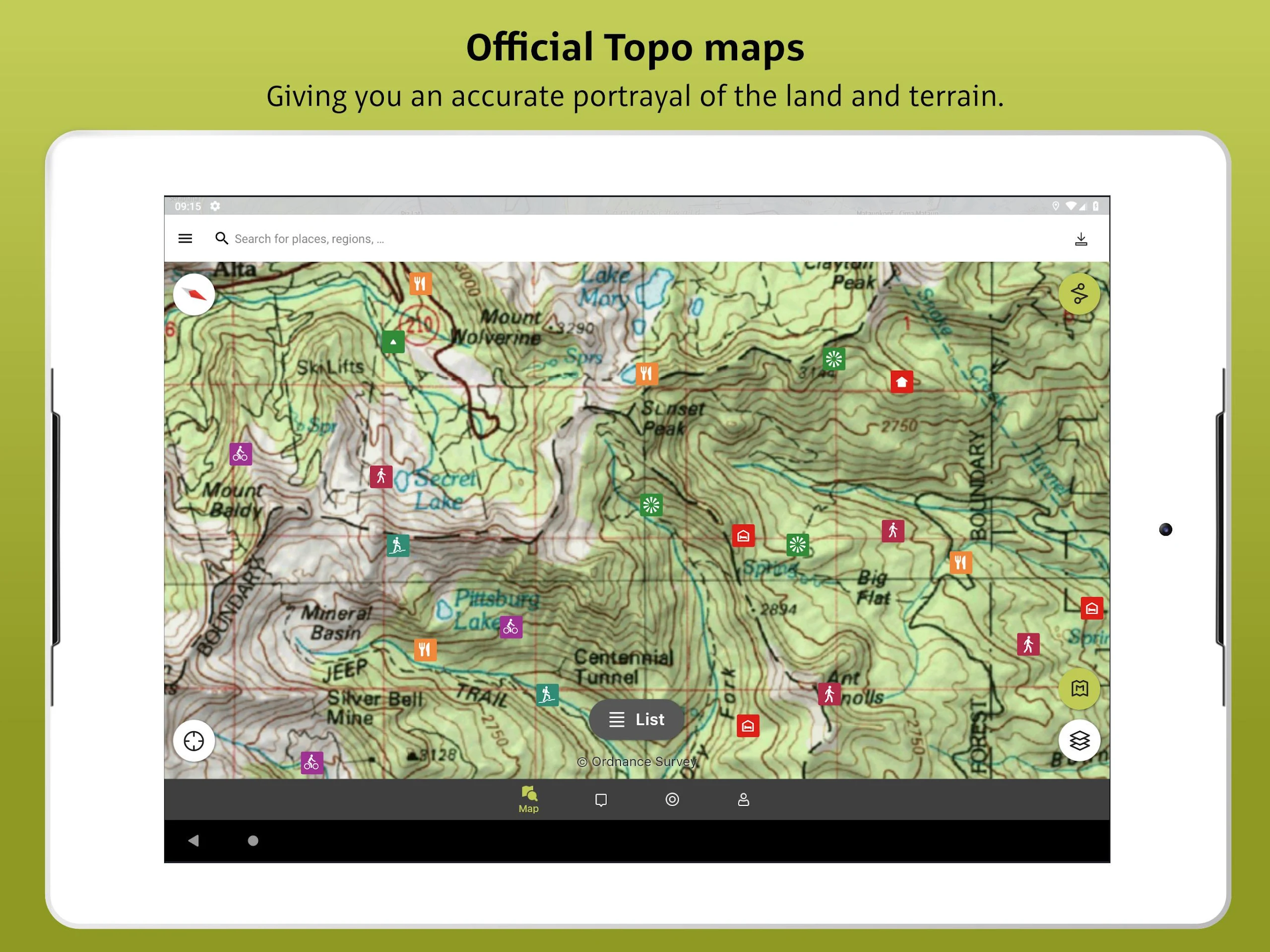
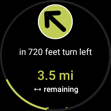
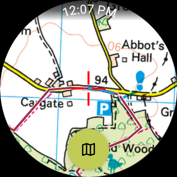
• Navigate with the most reliable maps on the planet: Browse the deepest collection of different map types to track or plan your adventures with confidence. Simply switch between different layers to get a clearer picture of the terrain you're planning to visit and get the most reliable understanding of conditions on the ground.
Outdooractive's map catalog includes:
- Official topo maps in 25 countries, including:
- Ordnance Survey (Landranger & Explorer) in the United Kingdom
- New Zealand Land Information in NZ
- USGS in the USA
- BKG in Germany
- BEV in Austria
- Swisstopo in Switzerland
- IGN in France
- CNIG in Spain
- PDOK in the Netherlands
- Kartverket in Norway
- Kortforsyningen in Denmark
- Lantmäteriet in Sweden
- Finland National Land Survey in Finland
- GSI in Japan
- Harvey Maps in the UK's most mountainous areas
- The official Alpine Club maps for climbing in the Alps
- The specially-designed Outdooractive map across France, Germany, Austria, and Switzerland.
Features:
• Share your live location with family and friends: Give yourself and your loved ones complete peace of mind when you're out in the great outdoors thanks to BuddyBeacon.
• Join a global community of outdoor tourists and adventurers: Share your activities with the community, join challenges to stay motivated, and get inspired by officially-approved content from our thousands of industry partners.
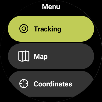
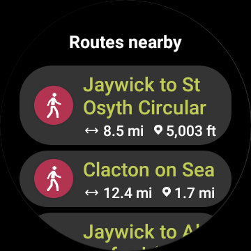
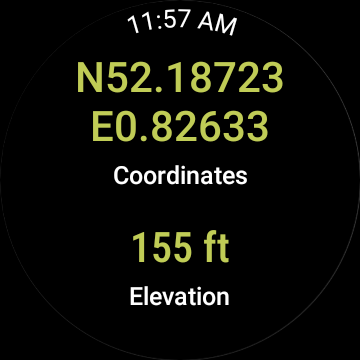
• Smartwatches with WEAR OS from Google: With a glance at your Smartwatch, you get information about your GPS position on the map. You can record tracks, get tracking data, and navigate along routes.
FAQs:
- Can Outdooractive find walking trails near me?
Outdooractive helps you find walking, hiking, cycling, and many other types of trails both in your area and around the world.
- How can I find hiking trails near me?
Using Outdooractive, you're able to find hiking trails in your local area by opening our app and browsing the map. You'll be able to see hiking trails with a range of distances, difficulties, and distance from your location.
- How do I know which hiking trails close to me are best to follow?
Using Outdooractive's multiple map layers, you're able to view official information from multiple sources to inform you about trail conditions, rules, restrictions, and what to expect on your hike. Experts will share information on each route regarding its difficulty, required experience level, and more!
- Can I download offline maps to navigate nature walks and areas to hike near me?
Outdooractive allows you to download maps and routes to your device before heading out to help you navigate those areas where signal isn't guaranteed — allowing you to reliably navigate the outdoors.
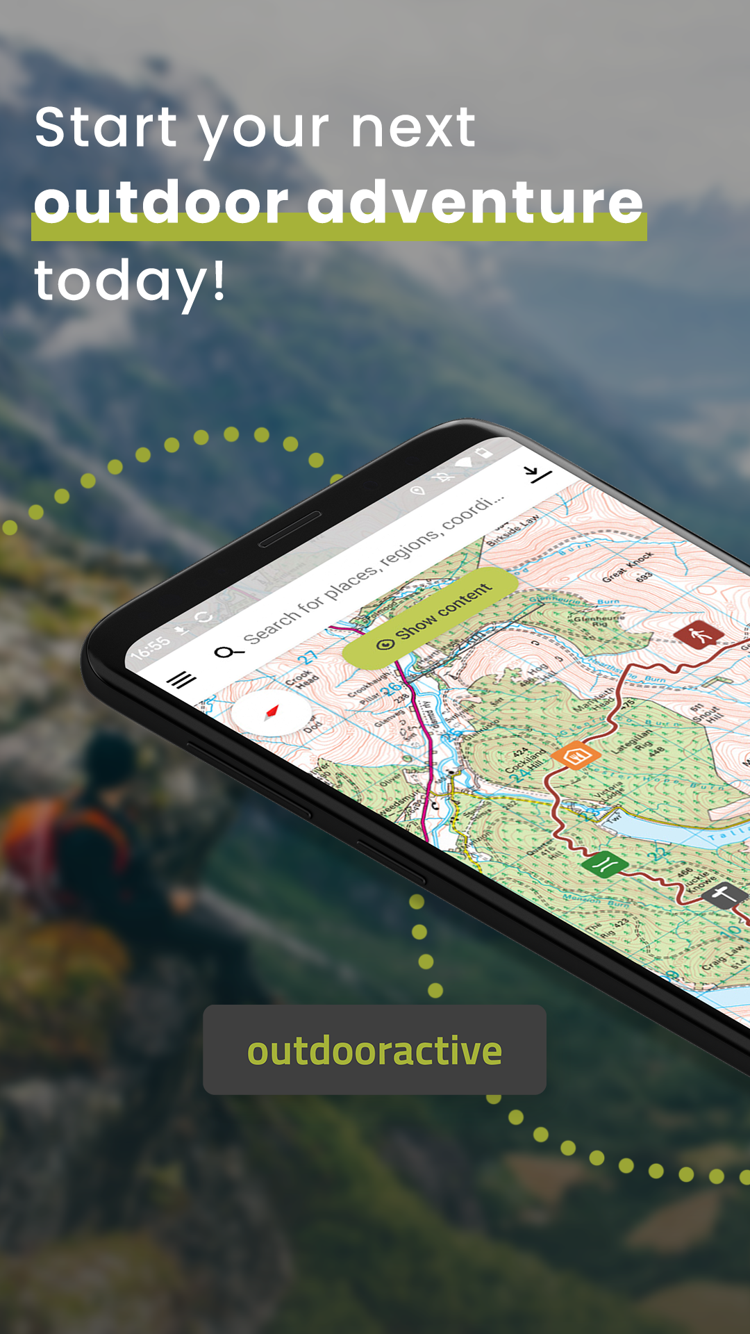
The start screen
The map is the heart of Outdooractive. For this reason, the app also starts with the map view:

Search bar:
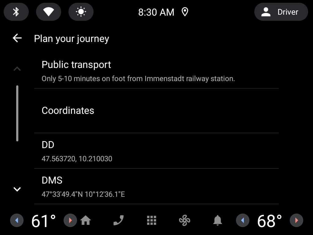
The search bar can be used to locate content on our platform. You can input keywords to locate places, regions, mountain peaks, accommodation, and more. These can be displayed both as a list and directly on the map. You will be prompted with the options to 'Start plan here', 'Route to here', or 'Create new Point', you can click anywhere on the map to close these options.
Hamburger menu:
The hamburger menu takes you directly to the various content categories on Outdooractive, which you can find under "Routes & Places". The menu also takes you to Current Conditions, Collections, Offers, and Outdooractive Challenges, for example. The menu item "Settings" can also be found here, where you can, for example, manage your offline content, adjust your privacy settings, and create links to partners such as Garmin.
- Version3.17.1
- UpdateFeb 13, 2025
- DeveloperOutdooractive AG
- CategoryTravel & Local
- Requires AndroidAndroid 7.0+
- Downloads2M+
- Package Namecom.outdooractive.Outdooractive
- Signaturebad7d08b29bf4320defda92af6c8f507
- Available on
- ReportFlag as inappropriate
-
NameSizeDownload
-
224.06 MB
-
224.36 MB
-
224.32 MB


everything needed to navigate
helpful information for planning routes
paid version only improves maps far away
Not intuitive at all